Polar bears of the Last Ice Area: Kane Basin Subpopulation
Written by Vicki Sahanatien, Senior Officer, Government & Community Relations, Arctic Program
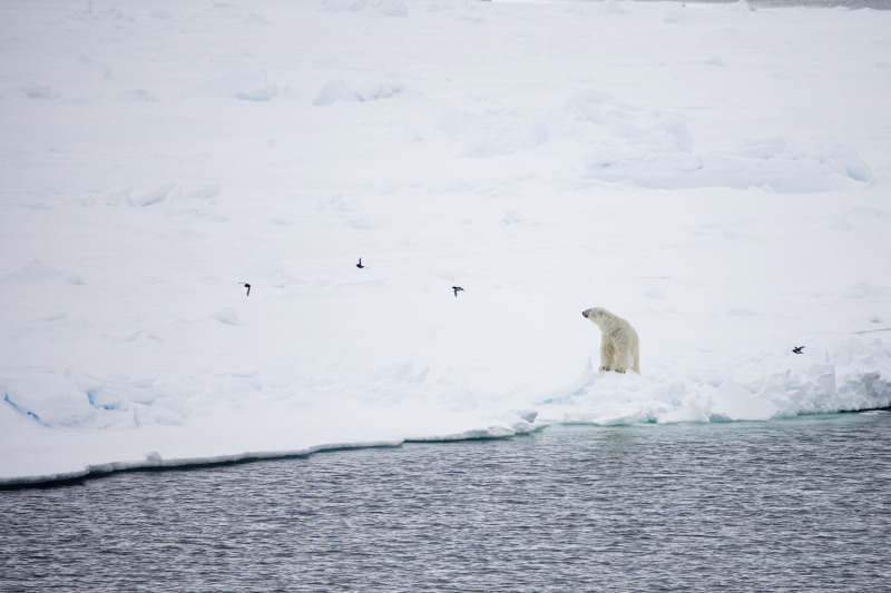
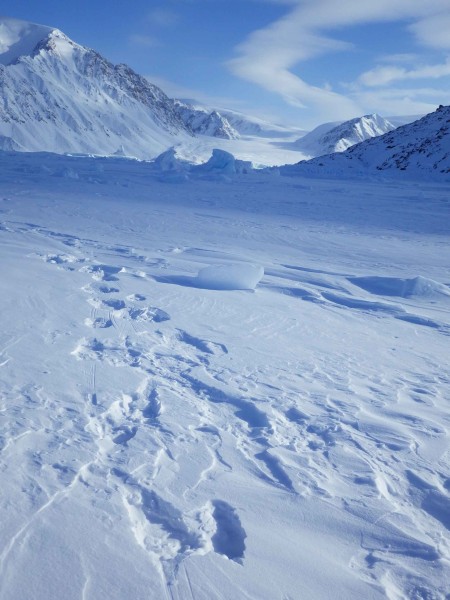
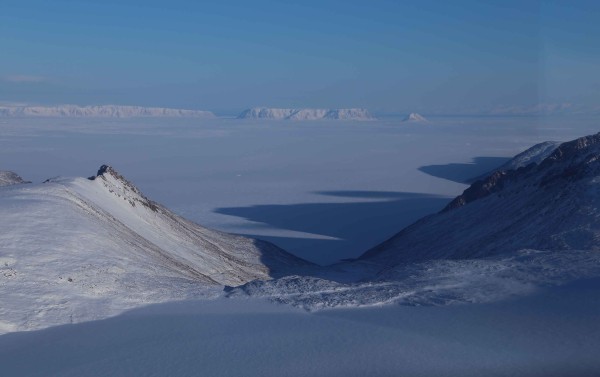
In the spring, I spent a few weeks in Kane Basin, high in the Arctic, in the region we call the Last Ice Area. I was there as part of a research term, in the area to learn more about the polar bears that call this area home, and the sea ice that is their habitat. As the Arctic warms and the ice retreats, we expect this to be a critical area for ice-dependent species like the polar bear, making it essential that we better understand the region and its current inhabitants.
Kane Basin is the most northerly polar bear subpopulation in North America. It is located between northern Ellesmere Island and Greenland, at 77° – 80° north latitude. These international polar bears are managed by Nunavut (Canada) and Greenland (Denmark) through the Canada-Greenland Joint Commission on the Management of Polar Bears and Memorandum of Understanding (2009). Kane Basin also has the most northerly polar bear hunting activities in the Arctic, with a combined international harvest of about 11 bears per year. The population size is estimated to be about 164 bears, based on the 1993 – 1997 population study. The status of this subpopulation is unknown and there is concern that it may be declining. To address this concern, a three-year study of population, movement and habitat began in 2012.

There are three objectives of this new study:
- To update the population estimate using two methods, both to get a clear, current picture of how many bears there are in this subpopulation and to compare the results of these methods. The first method used is genetic mark-recapture, which involves taking genetic samples from captured bears (by extracting small pieces of flesh from the bears using a dart), marking the bears, and assessing the number of marked bears recaptured in future years to see what percentage of the population they represent. The second method is aerial transect distance sampling, which involves flying along a set path (or transect) and counting the number of bears visible.
- To learn more about where the bears spend time and how they use the sea ice, using satellite telemetry – or tracking – information. Being able to track tagged bears using satellites allows us to collect movement location information to understand sea ice habitat use and if Kane Basin bears move into adjacent regions. Knowing where bears are is important for determining plans on how the area can be used – for example, we might want to avoid a lot of industry or shipping traffic in a bear-heavy region.
- To determine if there have been changes in the amount and types of sea ice habitat in Kane Basin. Polar bears spend most of their lives on sea ice, so any loss of this ice or changes to it, such as thinning, can have significant impacts on bear populations.
The results of this study will be available in 2015.
Kane Basin is an extreme environment even by Arctic standards. This high Arctic region has long, cold, dark winters and relatively low densities of seals, a polar bears’ primary prey. Lower environmental productivity means less food and the polar bears of this region have adjusted their life history accordingly by delaying first age of reproduction to 6 years old, compared to 4 and 5 years in more southerly populations. They also experienced longer intervals between cub births, greater longevity, and lower natural rate of population increase. While this is a challenging place to live, polar bears, like the Inuit and Inughuit of the high Arctic, continue to thrive as they have for millennia.

We know that climate change is affecting sea ice throughout the Arctic, including Kane Basin. The sea ice on the western side of this region was once connected with that of Jones Sound but in recent years, this has changed. The edge of the North Water Polynya (an area of year-round open water) comes up to the coast of southeastern Ellesmere Island and may be a barrier to immigration of polar bears from other populations. While polar bears are strong swimmers, this polynya is about 85,000 km2 – a major obstacle. On the Greenland side, similar changes in sea ice habitat have also occurred. Kane Basin is a particularly complex sea ice ecosystem because of the influences of the North Water Polynya, the volume of multi-year sea ice flowing in from the Arctic Ocean, and effects of increasing glacier ice discharge.

Kane Basin polar bears are the furthest north bellwether of climate change, similar to the bears at the southern range edge where, scientists have observed habitat and population impacts. WWF’s Last Ice Area project is part of the global effort to better understand environmental change in the high Arctic and plan for long term conservation of polar bears – and this new research will help us do just that.

